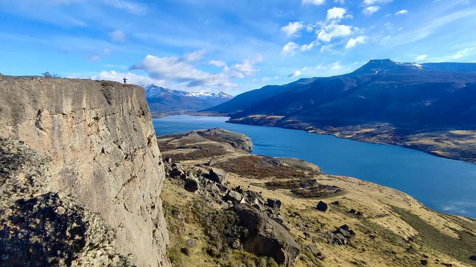
The responsible way to choose a viewpoint around Puerto Natales is not to copy a “best views” list. Identify who manages the place, whether access is public, which restrictions apply and how you will return. The urban waterfront provides scenery from town; any rural trail or elevated point requires additional confirmation.
Separate urban, protected and private places
An established urban lookout, a trail inside a protected area and a hill on private land have different rules. Municipal authorities may announce works or closures in town. CONAF controls access and trails within its protected units. Private land requires explicit permission or a formal operator arrangement.
A panoramic photo does not prove public access. Neither does a line on a hiking app. Before saving a location, find its official name, responsible institution and a current publication describing entry.
This guide deliberately avoids naming informal hills or viewpoints because reliable evidence did not confirm unrestricted access, difficulty, duration or present trail conditions.
A five-step access check
- Identify the manager: municipality, CONAF, National Assets or a private party.
- Check the official channel on the day for closures, maintenance or alerts.
- Confirm whether entry, booking, registration or permission is required.
- Verify that both the outward and return route are authorised.
- Arrange transport and a return time that do not depend on moving faster downhill.
For protected areas, use CONAF and the official pass platform where applicable. Questions about public or state land belong with the Ministry of National Assets. If all you have is an old review, access is not yet verified.
Replace vague difficulty labels with evidence
“Easy” and “short” depend on fitness, surface, elevation, wind and carried weight. Ask for measured distance and elevation, terrain type, waymarking, exposure and turnaround points. When the responsible authority does not publish those details, treat a visitor rating as opinion rather than fact.
Carry layers, water, suitable footwear, battery and an offline route only when the route comes from a legitimate source. Share your plan outside the urban area. A viewpoint does not justify crossing a fence, leaving a marked trail or continuing in poor visibility.
What few viewpoint guides mention
The image that attracts you may use a telephoto lens, drone altitude or heavy editing. The authorised walking route may not produce the same view. Some roadside perspectives also have no safe or legal place to stop.
Turning back can be the correct outcome. Closure, wind, mud, ice, fatigue or fading light are enough reasons. The official Natales Transfer website, accessed on 2026-08-01, publishes private transfers to Torres del Paine and surrounding areas, but it does not verify access to or coverage of a specific viewpoint. After confirming legal access, ask the operator directly if you need a transfer.
Create a small access record before departure: responsible authority, official page checked, time of the latest update and agreed turnaround point. International visitors should also save the place name in Spanish for speaking with local staff or emergency services. This prevents the group from relying on an old screenshot once on the trail.
Summary
- Identify the responsible manager before trusting a map pin.
- Confirm access, closures, entry conditions and the return route.
- Do not call a route easy, free or always open without current evidence.
- Never cross private land or stop unsafely on a road.
- Be prepared to turn around.
Related reading
Keep a flexible base in Puerto Natales
Estepa Patagónica can be a base for checking access and choosing another plan when a site is closed. Check availability on the official website or use the official WhatsApp listed there. The cabins do not certify external trails, access rights or viewpoint conditions.