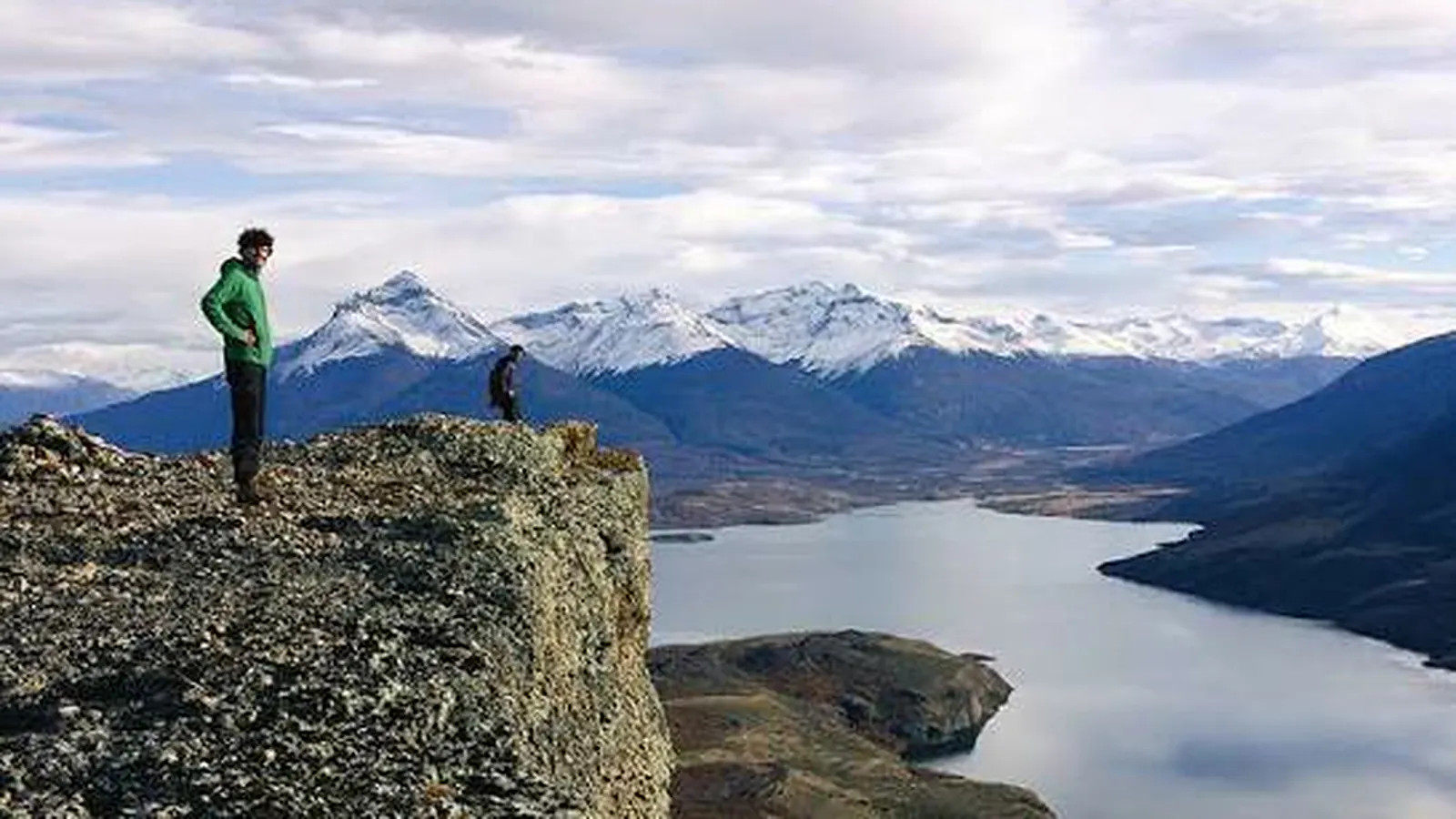
Travellers searching for “hidden beaches” around Puerto Natales should reset the premise. The reliable experience is the austral waterfront, not a verified list of secret swimming beaches. Start with the urban costanera. For any location beyond it, confirm legal public access, terrain, tide and current restrictions before setting out.
Use the urban waterfront as your reference point
Chile Travel describes Puerto Natales through its relationship with Última Esperanza Sound and the surrounding landscape. The waterfront promenade lets international visitors experience that setting from town without crossing rural property or depending on an unmarked trail.
Treat it as a scenic coastal walk, not as a guaranteed bathing area. Cold water, stone edges, wind and maritime activity create different risks from a conventional resort beach. Remain on established surfaces and respect barriers, works, piers and local signs.
There is no single walking time that suits everyone. Choose a section you can comfortably retrace and leave extra time for photography or birdwatching. Do not build a transport connection around an exact finishing time.
Public shoreline does not mean crossing anywhere
Chile treats sea, river and lake beaches as national public-use assets. The Ministry of National Assets provides guidance and a formal channel for access problems.
That principle does not allow a visitor to cut through any neighbouring property, open gates, damage fences or park without permission. Access must follow a public route, an officially established path or explicit authorisation. A line on a mapping app is not proof of a right of way.
If an access appears blocked or subject to an improper charge, document the situation and use the official National Assets process. Do not create a route or confront residents on site.
Check tide and maritime conditions
SHOA, the Chilean Navy’s Hydrographic and Oceanographic Service, publishes official tide predictions. Check the relevant station and date before entering a narrow shoreline section. Do not copy a tide time from another town or rely on an old screenshot.
DIRECTEMAR provides maritime safety and port information. A local warning, closure or authority instruction overrides your itinerary. Tide is only one factor: wind, visibility, water movement, temperature and the return route also matter.
Carry layers, secure footwear, water and a charged phone. Share your route if you leave the urban area. Avoid wet rocks and never assume that conditions will remain stable until you return.
What few “hidden beach” guides mention
Publishing a place as hidden can increase pressure on a fragile access and encourage travellers to confuse public shoreline with unrestricted passage. A site may also lack parking, toilets, signs, emergency access or capacity for visitors.
This guide therefore does not list unverified coves or coordinates. A responsible recommendation needs a competent authority, legal approach, current conditions and a realistic exit plan. Without those elements, the location is not ready to be promoted.
Summary
- Start with the established urban waterfront.
- Verify public access; never cross private land on assumption.
- Check SHOA tide information and DIRECTEMAR maritime notices.
- Do not treat the shoreline as a swimming beach without local confirmation.
- Avoid sharing fragile or unverified coordinates.
Related reading
Keep a flexible base in town
Estepa Patagónica cabins provide a base for walking the waterfront and reassessing a second outing with current information. Check availability on the official website or contact the official WhatsApp listed there. We help with accommodation, not with validating unconfirmed coastal access.